
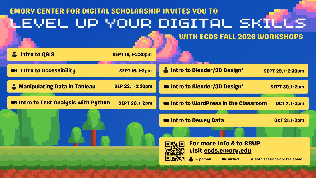
exercise with QGIS, a popular open-source desktop software. We’ll explore the interface,
connect datasets, and perform basic queries and geoprocessing tasks. We will then customize
symbology, labels, and create a layout for final map presentation. No prior experience is
necessary.
Related University Event Topic
Seminars & Workshops